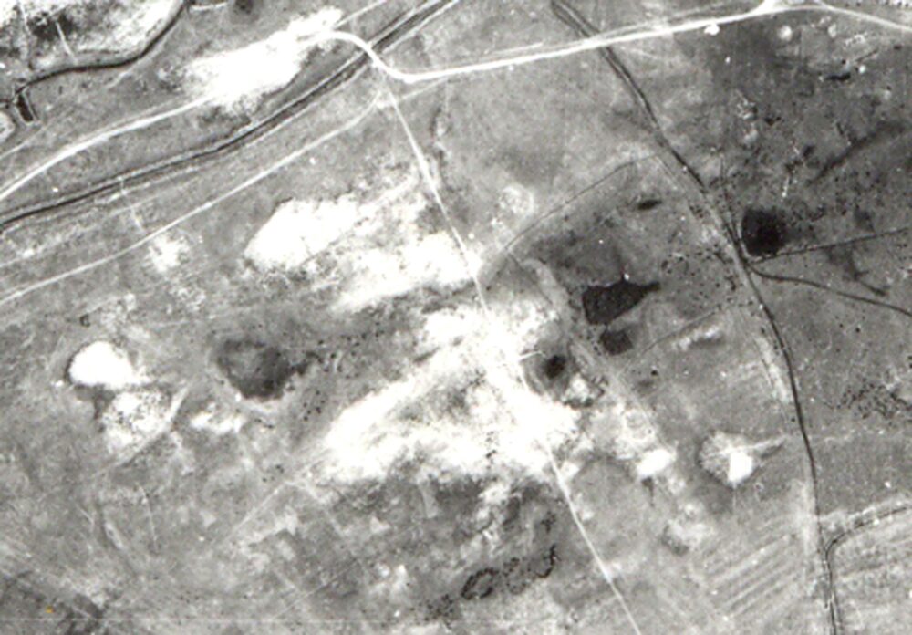
The settlement of Shoitobe-I is located about 7 kilometers south of the city of Turkistan, just 200 meters southeast of the ruins of the ancient town of Shaugar-Shoitobe. Coordinates: 43˚14.501΄, 068˚18.405΄. Elevation above sea level…
The name “Shoitobe” derives from the Oghuz tribe “Shoy.” Coordinates: 43˚14.451΄, 068˚17.622΄. Within the Turkistan oasis, several cities are known whose names are connected with Oghuz tribes: Qarnuq — Qarnaq; Qarajuk — Qarashyk; Baiyldur —…
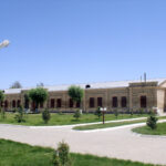
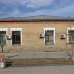
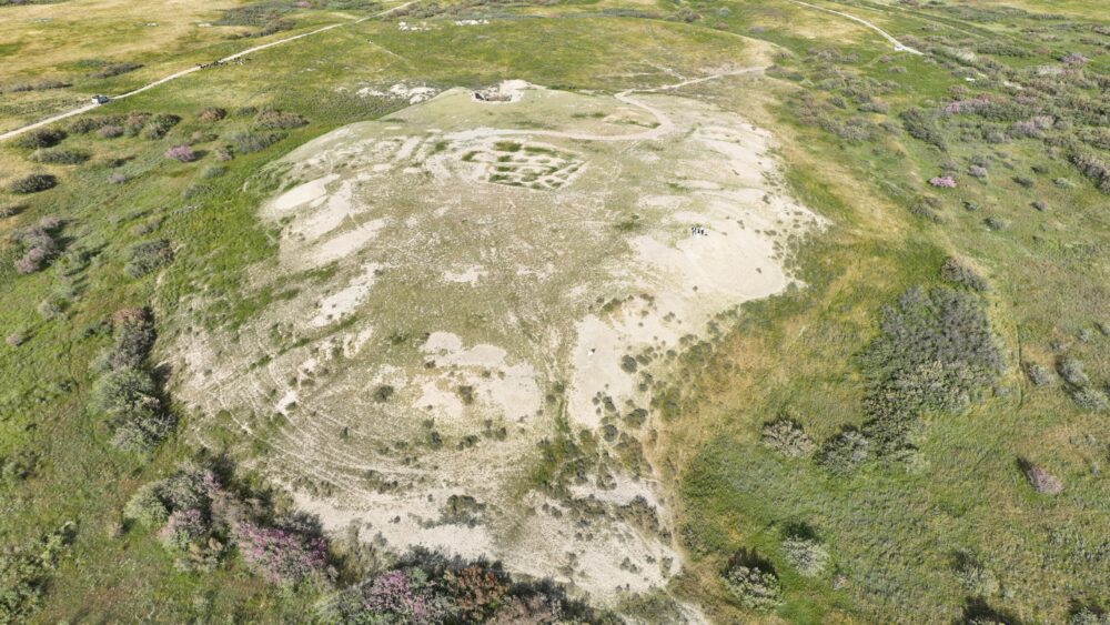
Yasy-Kultobe is one of the most ancient archaeological sites in Kazakhstan. It is located just 350 meters south of the Mausoleum of Khoja Ahmed Yasawi. Coordinates: 43˚17.597΄, 068˚16.268΄. This site is of republican significance. Archaeologists…
The monument is located 50 kilometers northwest of the Turkistan city, within the territory of the Zhibek Zholy rural district, east of the ruins of the medieval city of Sauran. Coordinates: 43˚31.021΄, 067˚46.548΄. The above-ground…
The monument is located on the northeastern side of the Mausoleum of Khoja Ahmed Yasawi. Coordinates: 43.2980974, 068.2708977. According to the 1958, excavation report by archaeologist and historian N. B. Nemtseva, at this site was…
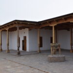
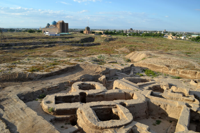
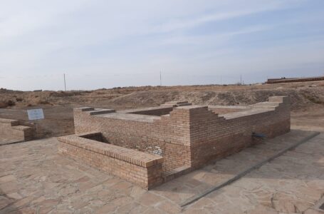
The monument is located 52 meters southwest of the Mausoleum of Khoja Ahmed Yasawi. Coordinates: 43°17.826′, 068°16.219′. The site was accidentally discovered in 1975 during land leveling works. Architects A. N. Proskurin and B. T.…
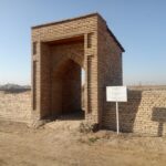
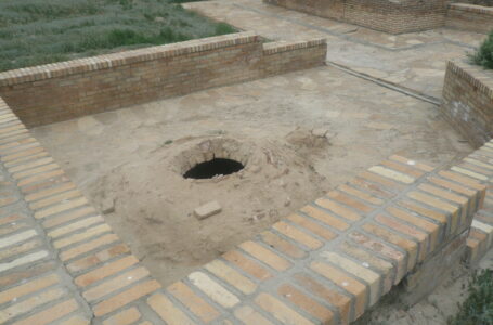
The site is located 45 meters southwest of the Mausoleum of Khoja Ahmed Yasawi and is classified as a monument of national significance. Coordinates: 43˚17.830΄, 068˚16.226΄. The upper part of the structure has not survived,…
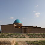
The Mausoleum is located 41 km northwest of the city of Turkistan, within the territory of the Zhibek Zholy rural district, about 600 meters southeast of the “Karatobe–Sauran” monument. Coordinates: 43˚28.952΄, 067˚47.081΄. The original structure…
The Mausoleum of Karakhan Ata is located 44 km northwest of the city of Turkistan, within the territory of the Zhibek Zholy rural district, approximately 200–300 meters east of the ancient city of Sauran. Coordinates…
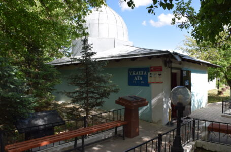
The Mausoleum and Well of Ukasha Ata are located at the foot of the Karatau Mountains, approximately 55 km north of Turkistan. Coordinates: 43˚36.917΄, 068˚15.712΄. The site is classified as a monument of national significance.…
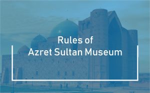
Address: Turkistan city, Aiteke bi 1B
Tel./fax: 8 (72533) 3-23-00, E-mail: azret-sultan@mail.ru
Operation mode: 09:00-18:00