A monument of republican significance. Coordinates: 43˚29.203΄, 067˚46.829΄. The earliest references to the city are found in the works of 10th-century geographers al-Maqdisi (al-Muqaddasi), al-Istakhri, Ibn Hawqal, in the writings of Mahmud al-Kashgari (11th century),…
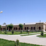
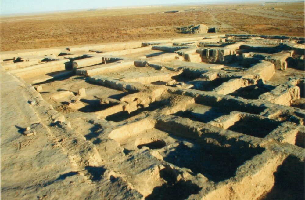
A monument of republican significance. It is located 3.5 km east of the Sauran settlement, within the Sauran rural district. Coordinates: 43˚33.506΄, 067˚48.522΄. The settlement was studied in 1867 by P.I. Lerch, in 1951 by…
The city represented the continuation of the settlement “Yasy,” which existed from the 3rd century BC to the 14th century AD. Coordinates: 43.2934758, 068.2649195. Over the centuries, the city developed and changed its appearance. In…
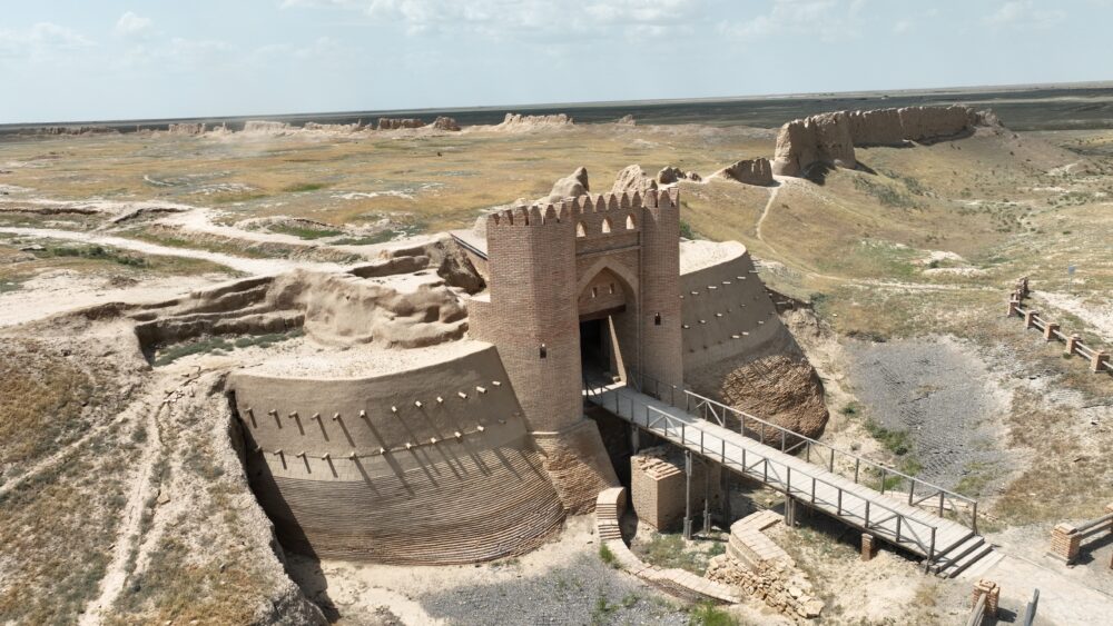
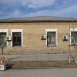
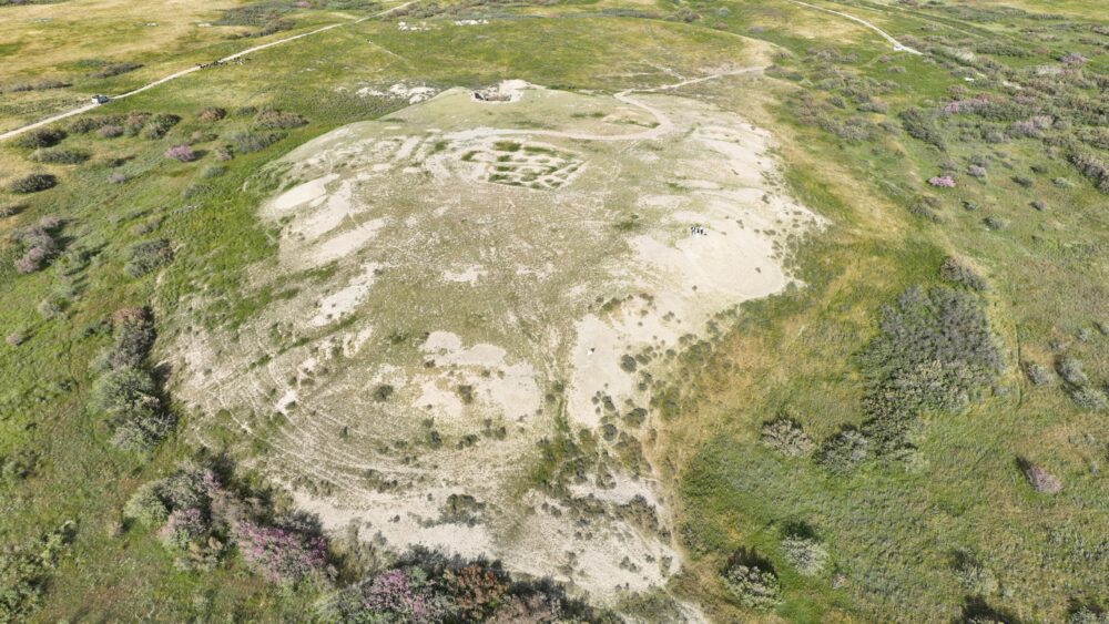
The site of Sauran is located 44 km northwest of the city of Turkistan. It is a monument of republican significance. Coordinates: 43˚31.106΄, 067˚46.337΄. The late medieval city of Sauran represents a direct continuation of…
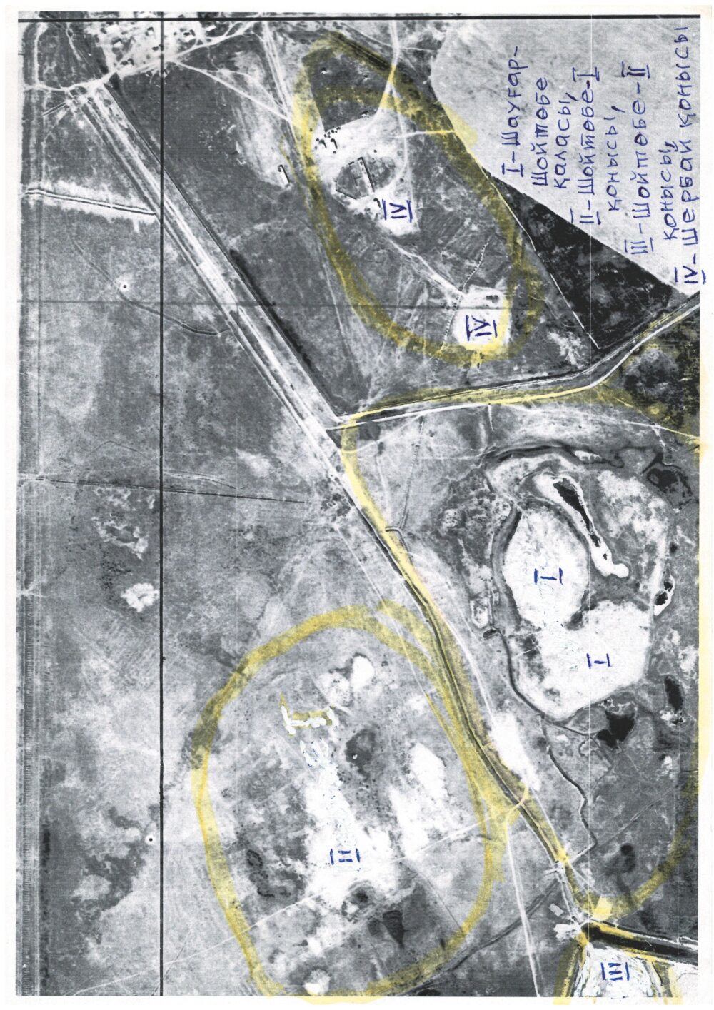
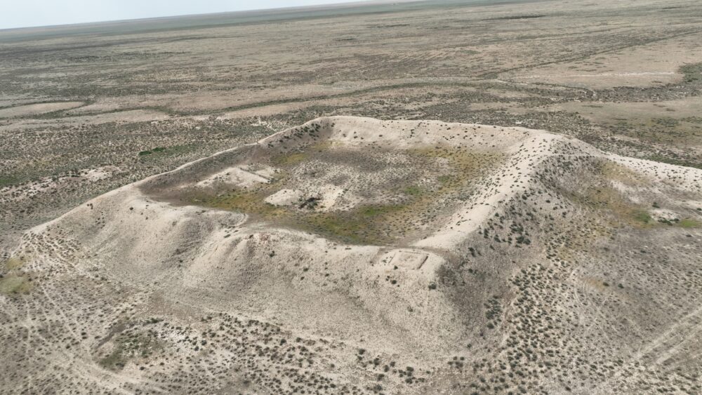
The settlement is located 7 km south of the city of Turkistan, 350 m east of the shahristan of the city of Shaugar-Shoitobe. Coordinates: 43˚14.477΄, 068˚18.511΄. Elevation above sea level — 219 m. The mound…
The settlement of Shoitobe-I is located about 7 kilometers south of the city of Turkistan, just 200 meters southeast of the ruins of the ancient town of Shaugar-Shoitobe. Coordinates: 43˚14.501΄, 068˚18.405΄. Elevation above sea level…
The name “Shoitobe” derives from the Oghuz tribe “Shoy.” Coordinates: 43˚14.451΄, 068˚17.622΄. Within the Turkistan oasis, several cities are known whose names are connected with Oghuz tribes: Qarnuq — Qarnaq; Qarajuk — Qarashyk; Baiyldur —…
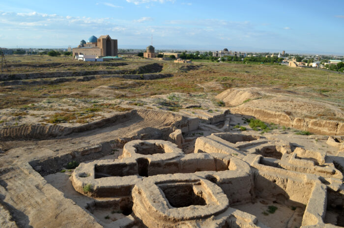
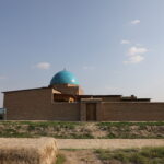
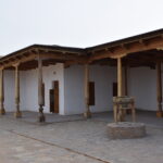
Yasy-Kultobe is one of the most ancient archaeological sites in Kazakhstan. It is located just 350 meters south of the Mausoleum of Khoja Ahmed Yasawi. Coordinates: 43˚17.597΄, 068˚16.268΄. This site is of republican significance. Archaeologists…
Address: Turkistan city, Aiteke bi 1B
Tel./fax: 8 (72533) 3-23-00, E-mail: azret-sultan@mail.ru
Operation mode: 09:00-18:00