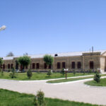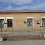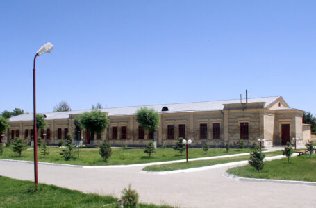
The time of the building’s construction is associated with the enlargement of the Turkestan garrison in the 2nd half of the 19th century. It has late additions from the end of the building, internal partitions…
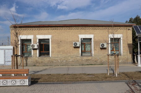
Historical and architectural monument of the XIX century. It has Republican significance. Location Aiteke bi street, No. 1b. Together with the nearby barracks building, it is the only one preserved from the complex of buildings…
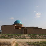
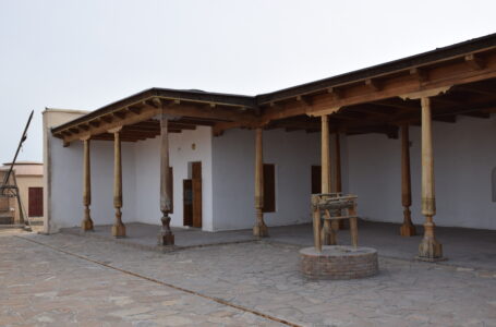
The mosque-Madrasa of Zhaudir Ana is located 1 km southeast of the Mausoleum of Khoja Ahmed Yasawi. Coordinates: 43.29111748, 068.2734985. In the first half of the 20th century, one of the many mosques that functioned in…
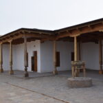
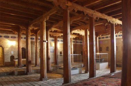
The mosque Juma (jumu’ah) of Turkistan is located 120 meters from the Mausoleum of Khoja Ahmed Yasawi, next to the underground mosque Kyluiet. It is a monument of republican significance. Coordinates: 43˚17.767΄, 068˚16.244΄. The mosque…
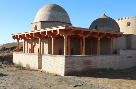
The The mosque of Bab Arab is located 620 meters from the Mausoleum of Khoja Ahmed Yasawi. Coordinates: 43.2966337, 068.2622416. The Bab Arab Mausoleum and Mosque were restored based on historical data collected during theodolite…
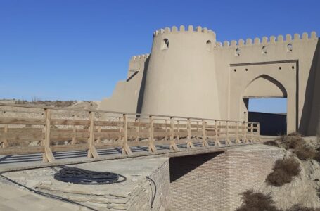
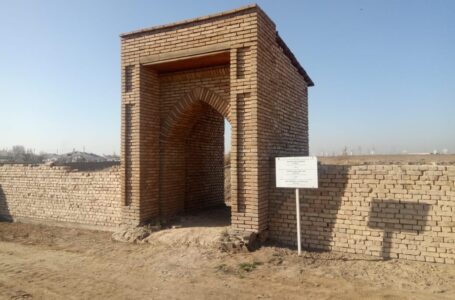
The bridge was located outside of the Zheti Ata gate. Coordinates: 43.2965984, 068.2617400. The gate “Zheti Ata” called “Zheti Ata Mausoleum” means seven ancestors, due a single tomb located outside the city wall where buried…
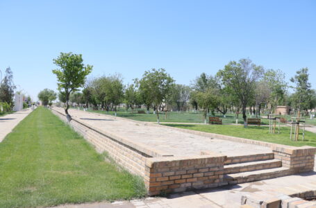
The fortress structure surrounding Old Turkestan was built in the first half of the 19th century. Coordinates: 43˚17.949΄, 068˚16.490΄. Historical sources indicated that the ancient city consisted of three parts: the Citadel, the Shahristan, and…
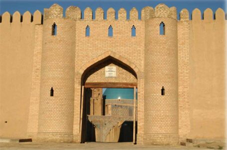
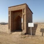
The gate was at northeastern wall of the citadel and consisted of a double-leaf wooden door. Coordinates: 43˚17.912΄, 068˚16.376΄. The gate doors were decorated with ornamental carvings, and on both sides located towers. Spiral staircases…
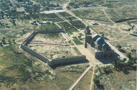
A fortification-type monument located on the eastern side of the Mausoleum of Khoja Ahmed Yasawi. It is a monument of national significance. Coordinates: 43˚17.894΄, 068˚16.262. In the earliest schematic plan of Turkistan’s fortifications, created in…
Complex is located 120 m south of the Mausoleum of Khoja Ahmed Yasawi. Coordinates: 43˚17.776΄, 068˚16.247΄. Monument of republican significance. This is one of the medieval religious structures built in the 12th century and continuously…
Address: Turkistan city, Aiteke bi 1B
Tel./fax: 8 (72533) 3-23-00, E-mail: azret-sultan@mail.ru
Operation mode: 09:00-18:00