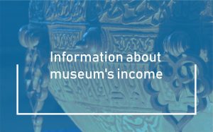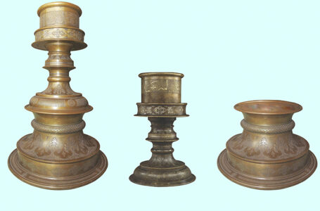
The two-handled candlestick is one of the valuable exhibits in the collection of the National Historical and Cultural Museum-Reserve “Aziret Sultan.” In its design, this candlestick closely resembles a 15th-century (second half) candlestick preserved in…
Read More
Today, the National Historical and Cultural Museum-Reserve «Aziret Sultan» and the National Historical and Cultural Museum-Reserve «Nesvizh» (Republic of Belarus) signed a Memorandum of Cooperation. Both museum-reserves have national status and are included in the…
Read More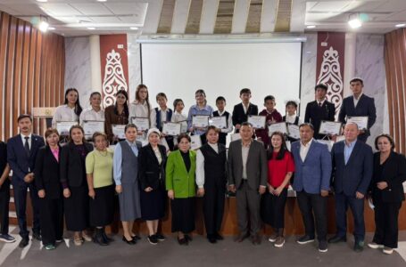
On October 22, 2025, under the auspices of the Azret Sultan National Historical and Cultural Museum-Reserve and the Turkestan City Department of Education, the first round table was organized among young researchers on the topic…
Read More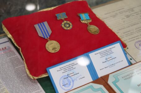
Today, the National Historical and Cultural Museum-Reserve «Azіret Sultan» held the grand opening of the exhibition «Life in the Museum.» It was dedicated to the 70th birthday of the distinguished figure and custodian of cultural…
Read More
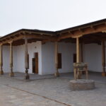
One of the valuable exhibits displayed in the Rare Artifacts Hall of the «Azret Sultan» National Historical and Cultural Reserve Museum is a wooden column originating from a mosque built during the period when Turkistan…
Read More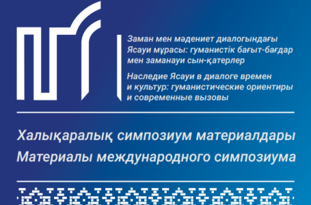
Proceedings of the International Symposium «Yassavi’s Legacy in the Dialogue of Time and Culture: Humanitarian Focus and Contemporary Challenges»
Read More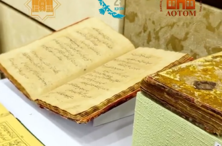
Today, the Akmola Regional Museum of Local History in Kokshetau held the grand opening of the exhibition «Turkestan: The Light of Millennia,» dedicated to Republic Day on October 25. The exhibition was organized in accordance…
Read More
On the eve of Republic Day, another important international agreement was signed. On October 22, 2025, the National Historical and Cultural Museum-Reserve «Aziret Sultan» signed a cooperation agreement with the State Historical, Architectural and Art…
Read More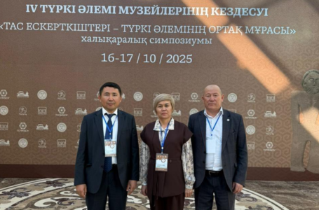
The 4th International Symposium of Museum Workers on the topic «Stone Monuments – the Common Heritage of the Turkic World» was held at the A. Kekilbayuly Mangistau Regional Museum of Local History. The Symposium was…
Read More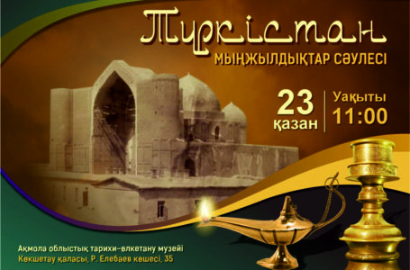
INVITATION Dear residents and visitors of Kokshetau! We invite you to the opening of the traveling exhibition «TURKESTAN. LIGHT OF MILLENNIUMS» featuring exhibits from the Azret Sultan National Historical and Cultural Museum-Reserve on October 23,…
Read More
Address: Turkistan city, Aiteke bi 1B
Tel./fax: 8 (72533) 3-23-00, E-mail: azret-sultan@mail.ru
Operation mode: 09:00-18:00