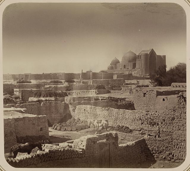
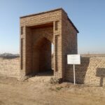
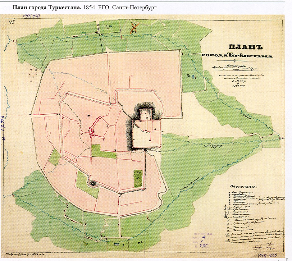
The city represented the continuation of the settlement “Yasy,” which existed from the 3rd century BC to the 14th century AD. Coordinates: 43.2934758, 068.2649195. Over the centuries, the city developed and changed its appearance. In 1166, after the burial of the famous Sufi preacher Khoja Ahmed Yasawi in the mausoleum of Yasy, the city became a major religious center. Today, the territory of the City Old Turkistan (14th–19th centuries) covers an area of 88.7 hectares. The city was surrounded by fortress walls and moats. The total length of the fortress walls was about 3.5 km, with 19 towers. On the 1875 plan of Turkistan, was recorded the topographical location of five gates: Darbaza, Musalla, Takiya, Zheti Ata, and Ikan Gates. It was one of the largest cities of Central Asia in the late Middle Ages.
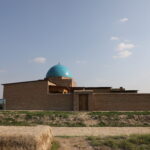
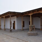
Traditionally, the city was divided into five administrative districts, each governed by elders (aksakals). In the 1860s, Turkistan had 20 neighborhood (mahalla) mosques, 2 madrasahs, 22 water mills, and 15 workshops. By 1864, the city’s population numbered about 5,000 people. Today, the city of Old Turkistan includes the Mausoleum of Khoja Ahmed Yasawi, the Mausoleum of Rabia Sultan Begim, the Mausoleums of Yesim Khan and Tauke Khan, as well as a number of other monuments of national significance.
On June 12, 1864, after Turkistan was captured by Russian troops, a decree issued on June 15 by N.A. Veryovkin preserved the existing structure of the city council. According to this order, the city was divided into five parts: the district around the mausoleum was called Musalla (marked as I on the map) and was placed under the authority of Shaykh-ul-Islam Nasrulla Khoja Iskhakov and rais Arip Khoja Abzal Kozhin; the remaining four districts were entrusted to four elders — Zhanty Utepov, Ashir Azmanov, Baimambet Kalmukhambetov, and Masali Bolegenov. In addition, the city administration included azizes, nakibs, kazis (representatives), and assistants of the elders — in total about 20 people.
In 1864, the city of Old Turkistan consisted of 1,200 residential houses with a population of 4,911 people. According to the 1897 census, the population reached 11,253, and by 1910, it had grown to 15,236. During this period, the city significantly expanded: on the eastern side appeared a military garrison, hospital, church, residential buildings, straight streets, and gardens. Prosperous inhabitants of medieval Turkistan moved from the old part of the city and built large new houses in the eastern and northern quarters. Jewish inhabitants, who built houses and shops there, actively settled the eastern side of the city and its opposite area forming what is now Amir Temur Street, then known as “Zhoyd Rasta» (“Row of Jewish Shops”). The city maintained its compact settlement pattern until the 1930s, after which mass resettlement began beyond the fortress walls to the rabad, which covered about 1,000 hectares around the city.