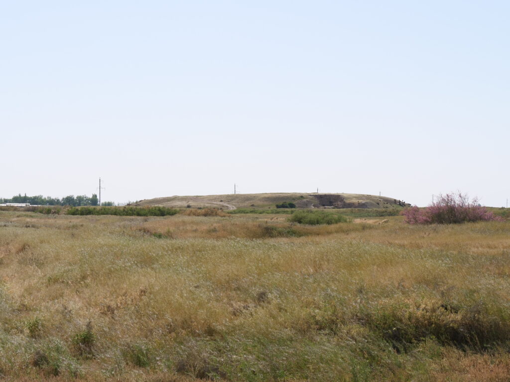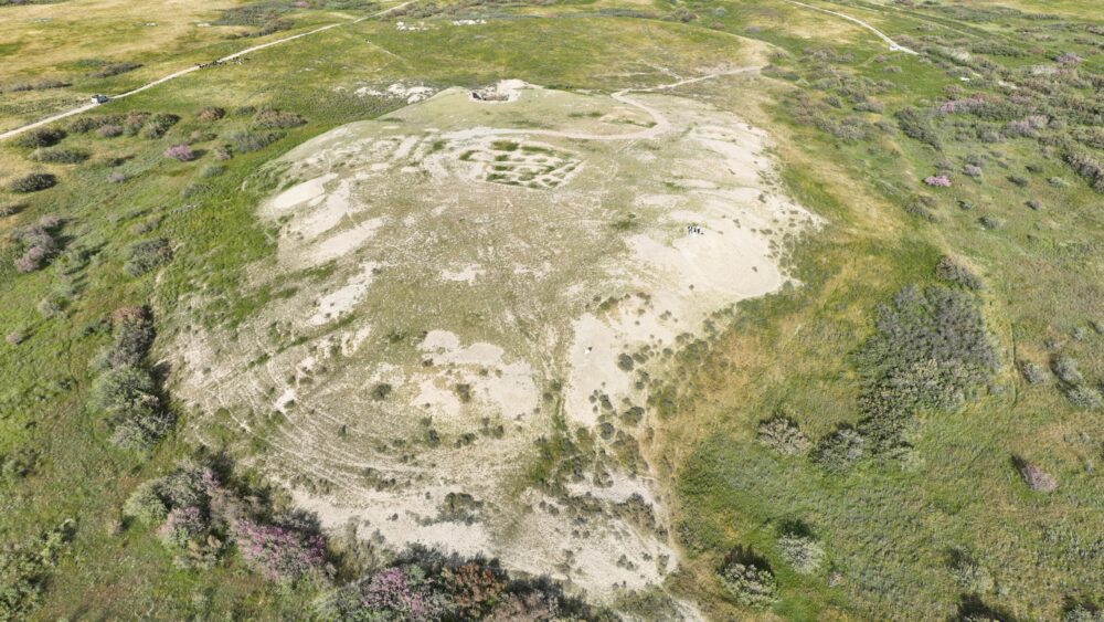
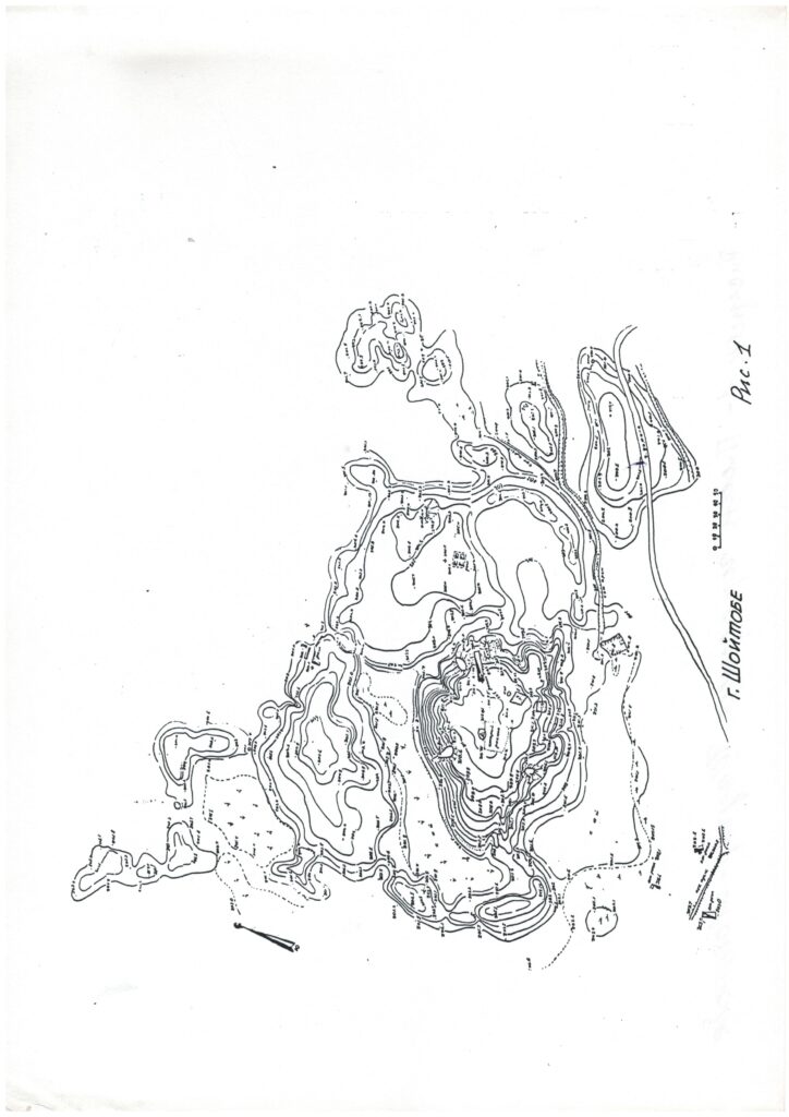
The name “Shoitobe” derives from the Oghuz tribe “Shoy.” Coordinates: 43˚14.451΄, 068˚17.622΄. Within the Turkistan oasis, several cities are known whose names are connected with Oghuz tribes: Qarnuq — Qarnaq; Qarajuk — Qarashyk; Baiyldur — Baiyldyr; Qayi — Urankay; Oqli — Okshy; Tekin — Teke; Shoy — Shoitobe, as well as Shoitobe I, II, and the Shoimola mazar. In neighboring areas there are also cities associated with the Oghuz: Zhavuldur — Shauyldir; Murde — Murde; Qazghurt — Qazyghurt; Turbatly — Turbat, and others. Archaeological excavations carried out during the Soviet period dated the upper cultural layer of the city to the 9th–10th centuries, while surface finds were attributed to the 11th–12th centuries. However, research conducted by the Turkistan Archaeological Expedition in 1996–1999 proved that the later period of the city’s existence corresponded to the early 13th century. Studies of the Otrar oasis cities have shown that cultural layers of settlements abandoned 800–1000 years ago gradually erode: the upper construction horizons, about 1–1.5 meters thick, disappear as a result of natural erosion. For centuries, rainfall and melt water washed away the remains of the last structures, turning them into clay and carrying them to the foot of the hill. Strong winds (Arystandy-Karabass), which blow for weeks, removed sand formed from the ruins of buildings, causing the mound to gradually decrease in height. Coins and ceramic fragments preserved within the cultural layers eventually sink lower, reaching horizons of later centuries. Because of this, archaeologists often face difficulties in precisely dating artifacts found in the upper layers. In the case of “Shoitobe,” prior to the 1996–1999 excavations, numerous finds were collected from the surface and even from ravines, including painted ceramics discovered already in the first spade layer, which were dated to the 13th century, as previously confirmed.
As for the reasons for the city’s disappearance, in the second quarter of the 12th century, Southern Kazakhstan and Central Asia suffered devastating invasions by the Qara Khitai (Khitan). The Karakhanid state, which had previously ruled the region, was defeated and became a vassal of the Qara Khitai. However, at the end of the 12th – early 13th century, Khwarezmshah Muhammad ibn Tekesh carried out several campaigns along the Syr Darya, capturing Otrar and neighboring towns. In 1206, the Naimans, expelled by the Mongols, invaded Zhetysu, making it clear that Mongol forces would soon follow. Realizing he lacked the strength to defend the towns on the right bank of the Syr Darya and to strengthen their fortifications, Khwarezmshah Muhammad, according to written sources, ordered: “…the inhabitants of Shash, Fergana, Isfijab, Kasan, and other nearby towns to abandon their settlements and move to the Muslim regions (on the left bank of the Syr Darya), and then destroy all these towns”. This event took place approximately between 1211 and 1215. Most likely, “Shaugar-Shoitobe” was among these destroyed and abandoned cities, since after the late 12th century written sources make no further mention of “Shaugar”.
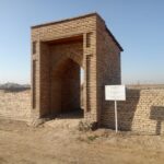
It is likely that in the 9th–11th centuries, the Shoy tribe also inhabited the city of “Shaugar”, which was part of the Oghuz state. Gradually, by around the 12th century, “Shaugar” having lost its importance, yielded its role as a political and economic center to the neighboring city of Yasy. In the early 13th century, after the complete destruction and disappearance of the city from the historical stage. Its inhabitants resettled in the settlements of Shoitobe I and Shoitobe II located in its rabad. Therefor we consider the Shoy tribe who settled these new communities for long time most likely gave their name to the new settlements and to the ruined city itself, which eventually turned into a mound.
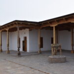
The presence of Shoy settlements in the northwestern part of Yasy–Turkistan confirms a city map drawn up in 1951–1952. In territory where today stand the Turkistanrestavrasiya, a bakery, the water utility office, and a kindergarten, recorded the Shoimola settlement and the Shoimola mazar in the 1950s map. These monuments can be regarded as echoes and traces of the influence of the Oghuz state, which in the 9th–11th centuries significantly expanded its territory, encompassing the lands of Kazakhstan, Uzbekistan, Turkmenistan, and extending to the southern regions of Russia