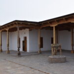
A monument of republican significance. It is located 3.5 km east of the Sauran settlement, within the Sauran rural district. Coordinates: 43˚33.506΄, 067˚48.522΄. The settlement was studied in 1867 by P.I. Lerch, in 1951 by the South Kazakhstan Archaeological Expedition (A.N. Bernshtam), in 1970 by the Otrar Archaeological Expedition (K.A. Akishev), and in 2005–2009 by the Turkistan Archaeological Expedition (E. Smagulov, M. Tuyakbayev).
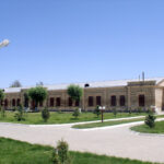
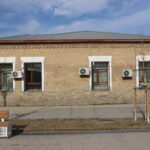
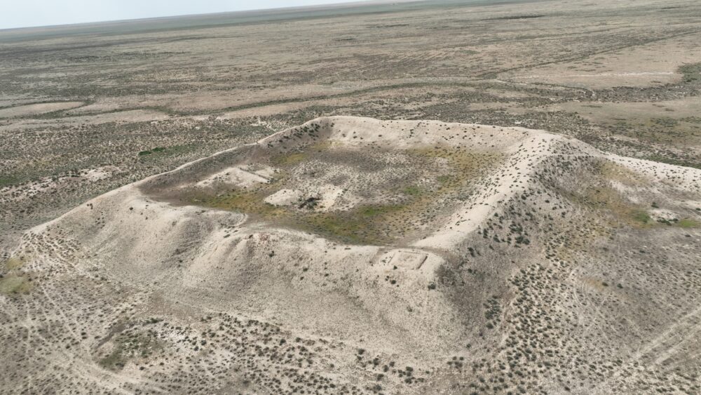
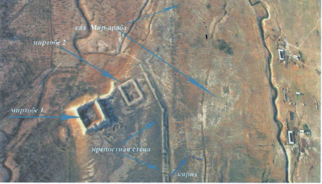
The Mirtobe settlement was established to supply the Sauran fortress with drinking water and to irrigate its orchards and fields through a karez system (subterranean irrigation system). According to historical sources, its construction is attributed to Mir-Arab, a native of this region and a wealthy landowner who lived in Samarkand. The karez system was located 6 km northeast of Sauran. It passed through the territory of the Mirtobe settlement and its orchards and stretched all the way to the center of Sauran. Every 10–12 meters, shafts (vertical wells) about 1 meter in diameter were dug, which at the groundwater level were connected by underground tunnels running from the mountain foothills to the plain. Such a system of wells was called karez (Kaz кәріз). The last shaft had a diameter of about 5 meters, and water from it was raised by means of a water-lifting wheel (shyghyr) and directed to the fields. The fortified settlement of Mirtobe was surrounded by quadrangular defensive walls 5.5 meters high. The outer fortifications measured 95×85 meters.
The karez system originated in the Middle East more than 3,000 years ago and spread widely to the Arabian Peninsula, Afghanistan, Iran, and Kashgaria. In the Middle Ages (6th–7th centuries), it became widespread in Central Asia, where hundreds of karezes were constructed in Turkmenistan, Tajikistan, and Uzbekistan—many of which continued to function during Soviet times and are still in use today. In Turkmenistan, the Isberzen, Khan Karez, Dau, and Ishan are well known; near Bukhara, the Nurata karezes; and in Azerbaijan there are as many as 812 karez systems. In Iran, some karezes reach lengths of up to 50 km, and Tehran is still supplied with drinking water through a karez network.
Overall, in the Turkistan oasis, irrigation through karezes was practiced in cities such as Sauran, Maidantal, Babaykorgan, Saukym Ata, Karnak, Kotyrbulak, Turkistan, Ikan, Shobanak, Karashik, and others. The greatest concentration was around Sauran; if all 250 karezes there were connected, their total length would exceed 150 km. The karezes of Mirtobe, Sauran, Karatobe, Maidantal, and Satymsay supplied water to the Small Sauran oasis; many of them were also used in Soviet times for irrigating fields and watering livestock. The total number of shafts connected by underground tunnels in the Sauran karez system exceeds 9,000. This is considered one of the most advanced forms of medieval irrigation.