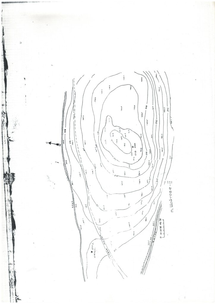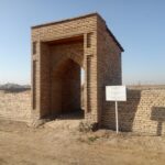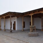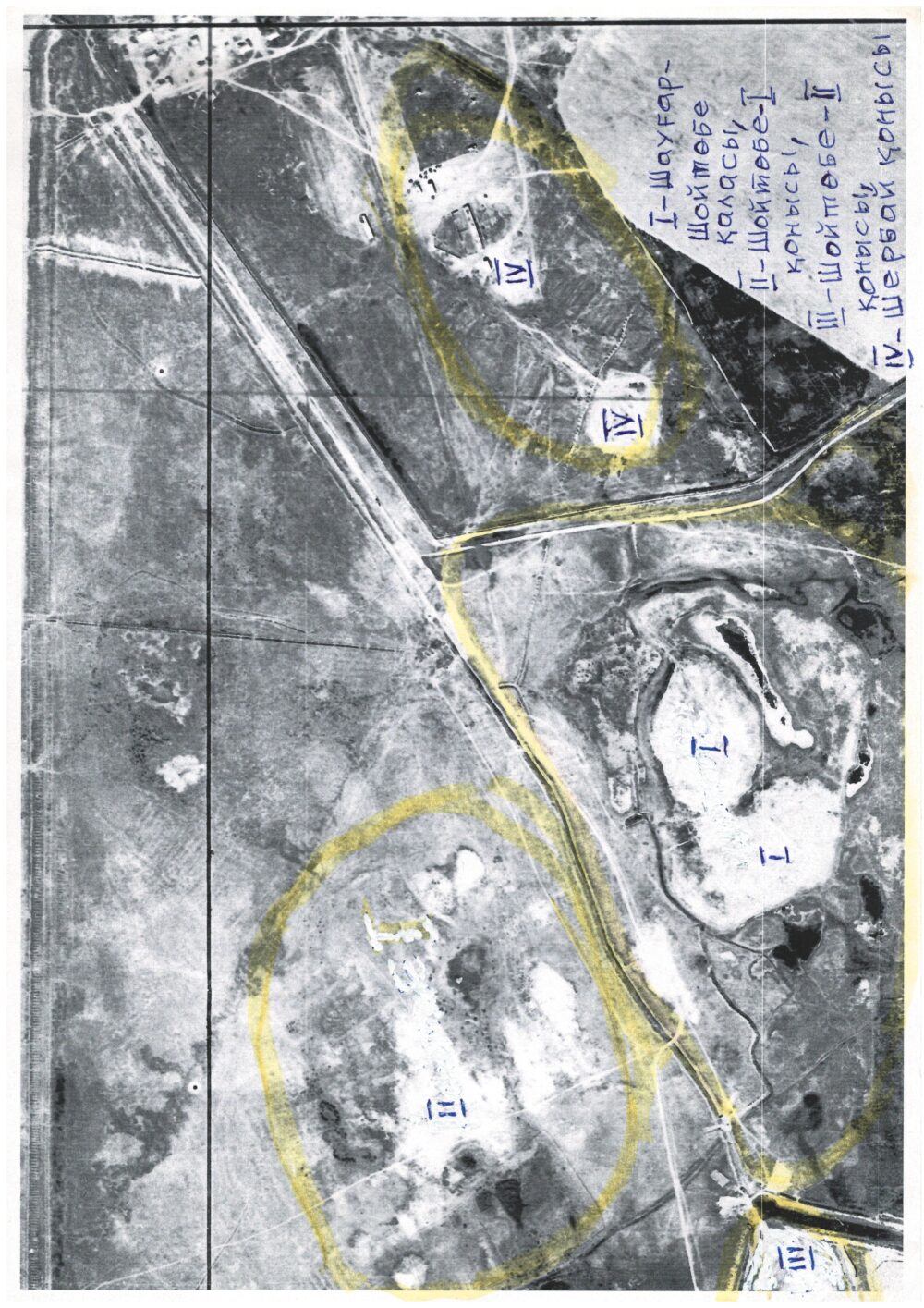
The settlement is located 7 km south of the city of Turkistan, 350 m east of the shahristan of the city of Shaugar-Shoitobe. Coordinates: 43˚14.477΄, 068˚18.511΄. Elevation above sea level — 219 m. The mound stretches 780 m from east to west and 320 m from north to south. The large hill, formed under the influence of natural forces, is called “Aktobe” (“White Hill”) by the local population. The highest point is in the eastern part, where there is a rise measuring 110×90 m, elevated 10–11 m above the surrounding plain. The lowest point is in the western half of the mound, where the average elevation difference is 2.5–4 m. In 1999, the Turkistan Archaeological Expedition (headed by M. K. Tuyakbayev) conducted research and opened two trial trenches. It was established that the settlement consisted of only one construction horizon. The thickness of the cultural layer varies from 0.5 to 1 m. Excavations were carried out in two areas: the first trench was laid at the highest point of the mound, and the second in its northwestern corner. In both cases, after two layers, the natural ground was reached at a depth of about 1 m. Remains of walls and floors of residential structures were found, as well as traces of plaster and hearths with ash deposits.
The majority of the ceramic fragments discovered are dated to the 13th–14th centuries. Based on the obtained data, it can be concluded that by the late 14th century the settlement was completely abandoned, and its inhabitants moved to Yasy–Turkistan.