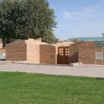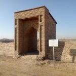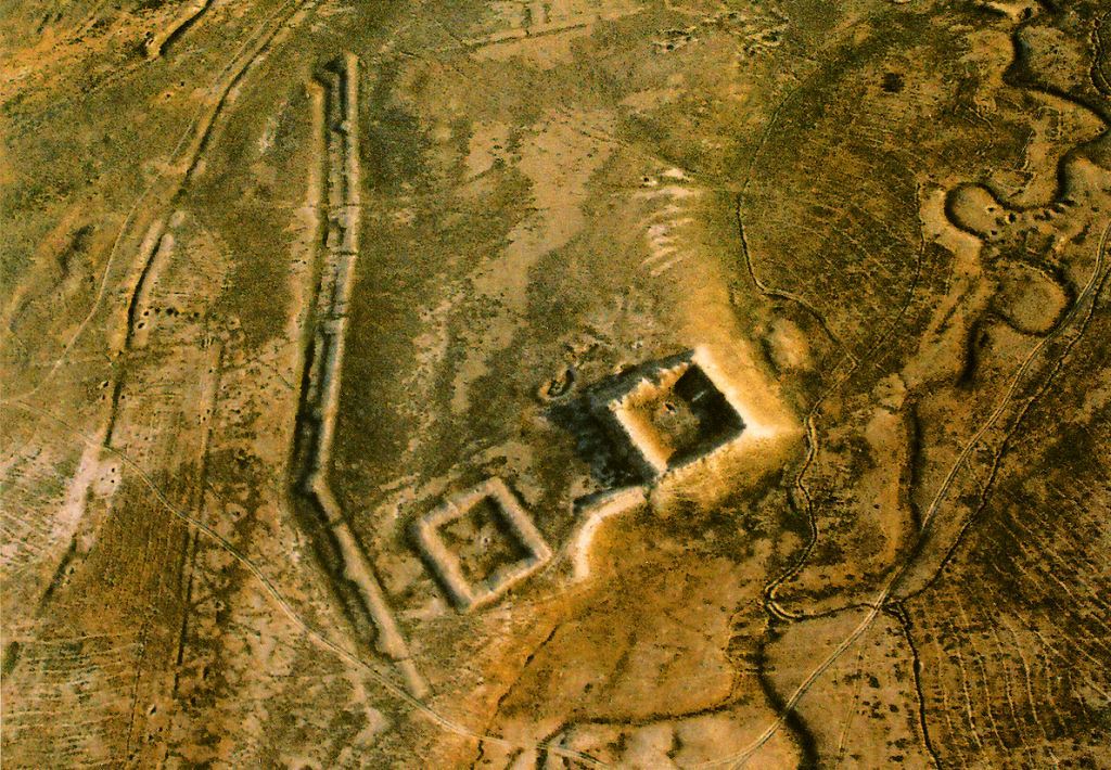
One of the main problems of the protection of historical and cultural heritage is excavation and preservation of historical cities. On the territory of Kazakhstan, the kurgans are still in their original condition. One of such valuable monuments is the complex of architectural and archaeological monuments of republican significance Sauran, which are on the list of the historical and cultural reserve-museum “Azret Sultan”. The settlements of Mirtobe within this complex are included in the list of the reserve-museum as an archaeological heritage. The settlements of Mirtobe are located 47 km north-west of the city of Turkestan, 5 km north-east of the ancient city of Sauran, on a hill. Coordinates: 4333.506, 06748.522. Height above sea level 222m. At the corner of the south side there is a fortress-mound 5.5 meters high, similar to a square. The size of the mounds in terms of the surface of the ridge is 95×85 meters, in terms of the height of the Kurgan – 80×70 meters, and in terms of the inner canopy – 45×45 meters.
The monument was investigated in 1867 by P. I. Lerkh, in 1951 by the South Kazakhstan archaeological expedition (S. N. Bernshtam), in 1970 by the Otrar archaeological expedition (K. A. Akishev). Zayn ad-din Mahmud Wasifi in his work “Badai al-wakai” describes the city of Sauran, speaking of the canals that provide the city with water, it is said that at the expense of the local religious representative Mir-Arab, kyarzes were built in order to provide the city with water and that is, this confirms why the remnant of the qarizi that provided the city of Sauran with water was named after Mirtobe.The main gate of the burial mound was preserved on the southern side, the second – on the western side, which, most likely, was in the form of a smaller door, was preserved at the bottom in 20 meters from the Kurgan, in the form of a ceiling with a diameter of 10 m and a height of 4 meters inside the barrow there is a trail of a well with a diameter of 4 meters, which is connected through the sewer with a deep water-ravine on the western side.
The highest ridge from the northeastern corner of the Kurgan is connected to the small “charbag”, and most likely the water from the barrow was pumped out and delivered through underground pipelines to the gardens of the large and small “charbag”. In any case, the sewer wells from the Maidantal village, located 11 km north-east of Mirtobe, are not cut through here, and another sewer runs from the eastern side from 260-280 meters to Sauran. From the large “charbag” 43 wells can be seen, dug 10 meters each no closer than 30-50 meters from the ground, in total, about 50 of these sewer wells still require careful study. The monument is included in the collection “Chronicle of historical and cultural monuments of Kazakhstan” in 1994 for the South Kazakhstan region under number 635 and is under the jurisdiction of the state.